

Some Binghamton University students and faculty spent much of Friday celebrating research involving geographic information systems (GIS).
GIS is a mapping tool used for presenting spatial and geographical data, often used in geography, archaeology and economic fields of study. Last week, BU celebrated its fifth-annual GIS Day, a nationwide celebration of GIS software and its application.
The larger celebration was started by the company responsible for much of GIS technology: Environmental Systems Research Institute (Esri). But, at BU, GIS Day was organized by the geography department and the GIS and Remote Sensing Core Facility.
Kevin Heard, a GIS Day organizer and an associate director of the GIS and Remote Sensing Core Facility, said the software is mainly used for presenting spatial data, such as creating a map of population density in New York state.
“I would say that it’s a software system which can take spatial data, analyze it and produce a graphic result,” Heard said. “It could be a map, it could be a table or a chart but it somehow takes that data and turns it into usable information.”
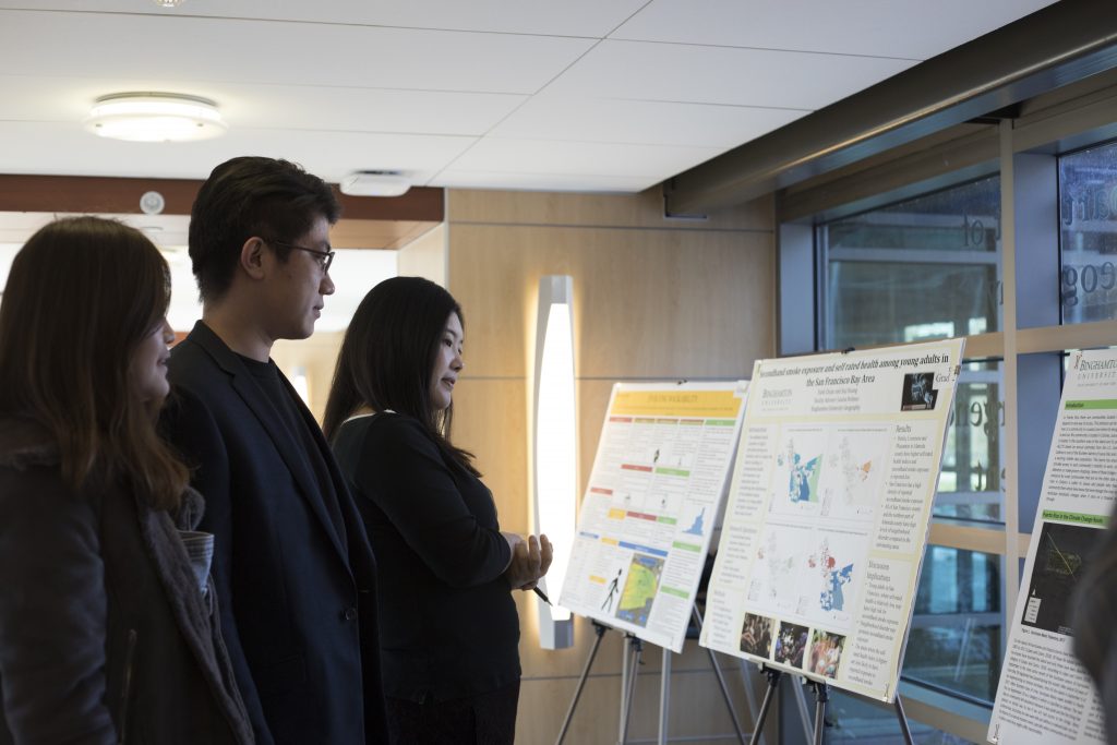
GIS Day focused primarily on student researchers, who were encouraged to submit posters of their projects to be displayed throughout the exhibition in Old Johnson Hall. Concluding the event, the top three posters were announced by the organizers.
Kelly Young, a junior majoring in environmental studies, won first place for her project using GIS to track algae blooms in the Finger Lakes. Second place went to a group of students in the Freshman Research Immersion program who collaborated to test if magnetometry was an effective method for detecting unexploded ordnance in eastern Ukraine.
Many of the students in attendance were enthusiastic about GIS and its applications. Ryan Strick, a senior double-majoring in geography and political science, emphasized how widely applicable GIS is.
“Literally whatever you want, you could use it for,” Strick said.
BU President Harvey Stenger attended the program to give a speech, as well as listen to other speakers in the geography department.
In his speech, Stenger highlighted Johnson City and its Redevelopment Story Map, an initiative led by BU’s geography department to document the effects of BU’s Health Sciences Campus on Johnson City with a publicly available GIS project.
“Johnson City, where the Endicott-Johnson Shoe [Company] was for many, many years, which is now long, long gone, had over 20,000 employees going there every day and has been abandoned by the company,” Stenger said. “We’ve been moving into those abandoned properties with the Health Sciences Campus.”
Heard discussed the increasing presence of GIS on campus as the popularity of the software increases in other disciplines. He said the GIS and Remote Sensing Core Facility has been making the software available to students and other faculty members by installing GIS-related licenses onto more than 750 desktop computers on campus in the last three years.
“All our GIS classes are typically full, with a waiting list,” Heard said. “I know some other departments have started to develop some GIS classes as well … It is a tool which can be used across many disciplines.”