

For the past year and a half, Karen-edis Barzman, an art history professor at Binghamton University, has traveled the globe in an effort to understand the history of borders.
Barzman focused on Venetian land in modern-day Croatia, which had borders with the Ottoman and Austro-Hungarian Empires. As she traveled between archives in Chicago, Harvard and Croatia, she observed how mapmakers adapted to borders affected by war.
“There’s a complicated and rich history of cartography,” Barzman said. “And Venice, in fact, has a rich history of working with triangulation early on, so I’d like to write Venice into that story.”
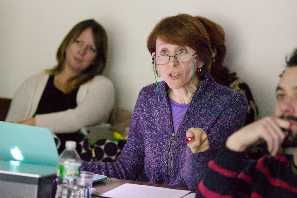
In a presentation to a group of 30 faculty members and students Wednesday night, sponsored by the art history department’s VizCult series, Barzman said that the Venetian empire pioneered some of the first detailed modern maps in the 1400s.
“It was there and then that cartography was first incorporated in an information technology,” Barzman said. “A developing paper industry in Europe was essential in this kind of data management.”
Barzman used pictures of the maps she studied to demonstrate how Venetian maps were some of the first to contain national borders; however, travelers also relied on physical markers, such as piles of rocks and marks on trees to know where they were.
“To my knowledge, the Treaty of Karlowitz represents the first time that limits of rule were measured and agreed upon by parties on all sides, drawn with precision and transferred to copper plates for reproduction and redistribution,” Barzman said.
Other history professors suggested that the beginning of modern borders actually began with the Peace of Westphalia, a series of peace treaties, in 1648 after the Thirty Years’ War, an event separate from Barzman’s research.
“A lot people date territorial sovereignty in Europe to the treaty,” said John Cheng, an Asian and Asian American studies professor at BU.
Andrew Walkling, an art history professor at BU, agreed.
“It’s codified a system by which states can establish themselves and make border claims,” Walkling said.
Barzman said that the Venetians, among others, were accustomed to borders marked by physical structures on the ground that travelers would see. Various empires had agreed on boundaries, but the travelers were used to an old system.
“There’s this very awkward moment where you have the introduction of lines, but they’re still noting the piles of stone here and the piles on stone there,” Barzman said. “They haven’t quite shifted from one to the other.”
Barzman argued that regardless of the political history, the study of art history in understanding borders had been undervalued.
“For what it seems to me rather arbitrary reasons, we have ceded the study of cartography to other disciplines despite the fact that we often deal with works on paper, attending to their visual and material aspects,” she said.
Many professors agreed, arguing that an understanding of map drawing was important in understanding the development of cartography.
“Thinking about how images are made is important,” said John Tagg, an art history professor at BU. “Cartography is not just about political science, or social history. We’ve ceded too much territory to others.”
Students also said that they found the study of borders from an art historian refreshing.
“It’s really interesting to hear about what she’s been working on for the past few years,” said Alex Feingold, a junior majoring in art history. “I didn’t know anything about the study of maps as a discipline so it was informative.”